About three hours north of Cape Town on the N7, and the tar runs most of the way.
- Clanwilliam Roughly 230 km by road from Cape Town
- Citrusdal About 160 km — the shortest run, and the southern gate
- Gravel The Pakhuis Pass road to Wupperthal. We have not verified vehicle requirements
- Harvest December to April, the only season the tea courts are working
- Flowers Spring, and Nieuwoudtville is what people come for
- Permits CapeNature for the Cederberg Wilderness Area
How far, and what road
Rooibos country sits inland and north of Cape Town, across the Cederberg range and up onto the Bokkeveld escarpment. The homepage says it plainly and we will not overstate it: it is a few hours north of the city. That is the honest figure we have, and it is the one we will use until we have measured the drive ourselves.
Read the restAbout 1 minute
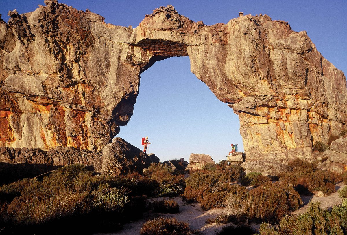
What we can tell you about the shape of the journey is that it is farmland and mountain rather than coastline — sandstone, fynbos, wide light, cold nights. The towns that anchor the region run roughly from the southern gate at Citrusdal, through the hub at Clanwilliam, up into the mountains at Wupperthal and out onto the escarpment at Nieuwoudtville.
No road numbers, kilometre counts or drive times appear on this page. They are the figures that get copied between tourism sites until nobody remembers the source, and none of them here is verified yet. Use a map app on the day. When we have driven it and checked the maps against the ground, this section will get the numbers it deserves.
Rooibos country runs from Citrusdal in the south, through Clanwilliam and the Cederberg mountains, up to Nieuwoudtville on the Bokkeveld escarpment — roughly three hours north of Cape Town.
We can tell you it is a few hours north of Cape Town, and that it is an inland mountain journey rather than a coastal one. Exact kilometres, road numbers and drive times are still to be verified, so they are left blank rather than guessed.
Do you need a 4x4
That one is genuinely unanswered. Whether you need a four-wheel-drive depends on which roads you take and which farms you visit. That has not been checked on the ground, so ask your accommodation when you book.
Read the restAbout 1 minute
What we can say is that this is a working farming region, not a sealed tourist strip. Some of the places you will want to reach — the mountain town of Wupperthal, and farms up on the escarpment — sit on roads that are part of the landscape rather than the highway. That is a reason to ask, not a reason to assume.
Until we have driven the routes and confirmed which are passable in a normal car, treat “do I need a 4x4?” as an open question to put to whoever you are staying with, not as something this page can settle for you.
When to come
This is the one question we can answer properly, because the answer is built from sourced facts about the plant and the place.
- HarvestDecember to April
The fields are cut and the tea courts are working. Come now to see rooibos being made.
Now - Wet seasonMay to August
Cold and wet. Almost all of the year’s 300 to 350 mm falls now.
Now - FlowersSeptember to November
Spring on the escarpment, and the plant itself flowers yellow.
Now
Read the restAbout 1 minute
Summer is harvest time. Rooibos is harvested annually between December and April. That is when the region is at its most alive — the tea courts working, the fields being cut, the whole reason the place exists happening in front of you. If you want to see rooibos being made, this is the window.
Spring is flower time. Nieuwoudtville, out on the escarpment, is a flower destination — the spring wildflowers are the draw there, and the plant itself flowers yellow in spring and early summer.
Winter is the wet season. This is a winter-rainfall country. The region gets only about three hundred to three hundred and fifty millimetres of rain in a year, and almost all of it falls in winter. That means cold, wet winters and hot, dry summers — which is exactly the climate the plant is built for, and worth knowing before you book.
- December–April
Harvest. The busiest, most alive time to come. - Spring
Flowers — the Nieuwoudtville wildflower season. - Winter
Rainy season. Cold and wet; almost all the year’s rain. - Summer
Hot and dry. The working season for the tea.
- CapeNatureThe provincial conservation authority — the only authoritative source on Cederberg reserve access, hiking permits and fees. Check here before planning a walk.
- CederbergRegional tourism listings across the wider Cederberg, well beyond the rooibos story.
How long you need
A reliable day count is not published here yet. The honest position is that it depends on what you came for, and the region is spread out enough that the answer is not “one afternoon”.
One drive on this site is worked out stop by stop, because a single published opening time forces its shape: the 10 o’clock drive, two days built around the region’s only published rooibos farm tour. It carries no kilometres either, for the same reason this page does not.
Read the restAbout 1 minute
What we can say is that this is a region you drive between, not a single town you stay in. The four anchor towns — the southern gate, the hub, the mountain town and the escarpment — are spread across a working landscape, and seeing more than one of them means moving between them. That is a reason to allow more than a day, and it is as far as the sourced facts will honestly take us.
We are planning a proper itineraries page — a weekend, three days, a week — once the farms and distances are verified. Until then, treat “how long” as a question to shape around the harvest window and the towns you want to reach.
The towns you will drive through
Rooibos country is a region, not a single town, and the towns are the way you will actually navigate it. These four anchor the place, and each one is a different kind of stop.
The hub — generally regarded as the rooibos capital of the region. The natural base for a rooibos trip.
The southern gate — the first rooibos-country town you reach coming up from Cape Town.
The mountain town — up in the Cederberg, reached on roads that are part of the landscape.
The escarpment town — out on the Bokkeveld, and a flower destination in spring.
These four towns are the ones this site treats as the heart of rooibos country. The full picture is more complicated — the legal protected-origin area is much wider, and the working growing footprint is still being confirmed. The difference is explained on the plant page.
What we cannot tell you yet
This is the page where the honesty rule matters most, because it is the page where a confident wrong answer costs you a wasted day. So here, plainly, is what we still need to verify before we will print it.
| Question | Where it stands |
|---|---|
| Exact distance and drive time from Cape Town | Not sourced. We say “a few hours north” and will not be more precise until we have measured the drive.Field research: drive it and check the maps |
| Road numbers and route | Not sourced. We will not name a road until we have confirmed it on the ground. |
| Do I need a 4x4? | Not confirmed. It depends on the roads and the farms, which we have not yet verified. |
| What will it cost? | Not sourced. No prices, no budgets, until we have confirmed them with the farms and operators.Field research: confirm with producers |
| Is there phone signal? | Not confirmed. Coverage varies across a mountain region and we have not measured it. |
| How long do I need? | Not sourced. A proper itineraries page is planned once the distances and farms are verified. |
None of this is a reason not to come. It is a reason to plan with the people on the ground — the farms, the guesthouses, the towns — rather than with a brochure. As we verify each of these, this page gets the number it deserves.
Inland and north, across the Cederberg
Farmland and mountain rather than coastline: sandstone, fynbos, wide light, cold nights. Print this page before you go — there is little to no reception in much of the region.